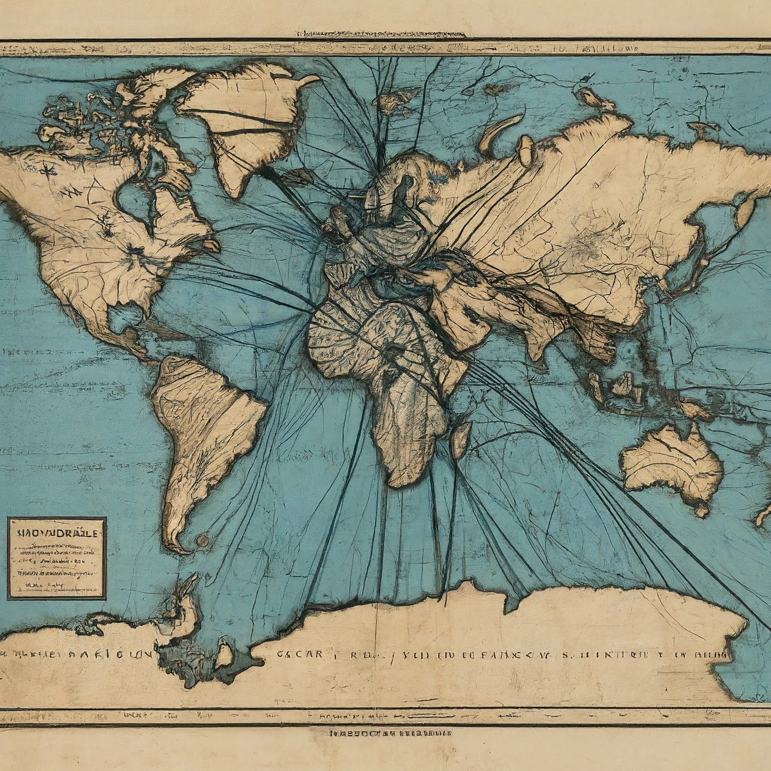
The earth's upper layer is divided into a number of plates holding oceans and continents
The plate tectonic theories are a great unifying concept, which draws sea floor spreading, continental drift, crustal structures and world patterns of seismic and volcanic activities together as aspects of one coherent picture. The theories are based on the concept of sea floor spreading by Harry Hess and confirmed by Vine and Matthews with their interpretation of linear magnetic anomalies. The term ‘plate’ was first used by Canadian geophysicist and geologist John Tuzo Wilson in 1965 in his definition of transform faults. But the hypothesis of plate tectonics was first proposed by WJ Morgan of Princeton University in 1967. The plate tectonic theories revolutionised the concept of physical geography.
Plate is defined as lithospheric block-in-motion. The term ‘tectonic’ is defined as a crustal zone of deformation. Another term ‘plate margin’ is defined as the region of tectonic deformation. Where two plates meet, a boundary is formed. Boundary planes emerge between plate margins due to the escape of internal energy of the earth.
According to the plate tectonic theories, plates are arranged in continuity and the earth’s internal energy emits through boundary planes. In general, the plates are not subject to seismic vulnerability but there are a large number of exceptions.
On an average, 10-15 seismic activities are recorded in the Himalayan region whereas 1-2 are observed in the Indian plateau region. The Himalayas stand on boundary planes of the Indic and the Eurasian plates.
The underneath of substratum of the plates are characterised by horizontal energy waves.
However, only the marginal part of the plate is invaded by energy waves. That is, the entire plate is not subjected to seismic activities rather it’s only plate margins that are vulnerable to such activities. Tectonic activities are explained by folding, faulting, bending, fissure eruption etc.
According to the plate tectonic theories, there are several lithospheric plates and in 1984, NASA put the number to be around 100. However, another view suggests that the number of plates is subject to change owing to continuous movement of the plates.
A plate does not maintain a uniform velocity throughout its extent. That is, different parts of a plate independent motion. This leads to cracks in the plate, i.e. faulting, and these cracks may change in due course into oceans. This is currently what is happening in the African plate in its northern portion. Here, the Moroccan part follows a different course of motion, towards north-west while the eastern part dominated by the Great Rift Valley follows northward movement on the west of the valley and eastward course on the eastern flank.
The American Earth Science volume-2 tells us that there are seven major plates and six minor plates.
Major plates are:
1. Pacific
2. Indic
3. North American
4. South American
5. Eurasian
6. Antarctic
7. African
Minor plates are:
1. Arabian
2. Philippine
3. Cocos
4. Nazca
5. Caribbean
6. Scotia (South of Argentina)
These plates are divided into three categories:
1. Continental: North American, South American, African, Eurasian, Antarctican, Arabian
2. Oceanic: Pacific, Caribbean, Scotia
3. Continental cum oceanic: Indic, Cocos (it also includes the Isthmus of Panama)
The thickness of lithospheric plates, in general, is 5-11 km in oceanic zones and 50-60 km in continental zones. Energy cycle is responsible for the crustal activity of the crust.
Plate Tectonic Theory versus Wegener’s Continental Drift idea
According to Alfred Wegener, continents are sailing over oceans but according to the plate tectonic theories, plates (which include oceans also) are in motion and the motion depends on the internal energy waves. Wegener further says that continents are drifting towards north under the influence of gravitational attraction, and towards west owing to lunar pull.
The plate tectonic theories reject all these basic assumptions of Wegener but not reject the idea as a whole. It accepts that there is motion in the lithospheric blocs. Further, it suggests that the nature, contents and reasons behind this motion are different from what Wegener thought.
Wegener’s idea of northward movement of landmasses has been disapprove on the ground of mathematical calculations. Also, available evidence doesn’t support the concept of northward movement of landmasses. Australia and Antarctica have moved southward and south-westward respectively. Further, Wegener’s concept of lunar pull for westward drift has not been found reasonable. For that to happen, the lunar pull should have been 13,000 million times stronger than what it is at present.
On the other hand, according to the plate tectonic theories, there are two mechanisms responsible for the observed motion in plates or the movements of the plates.
These mechanisms are explained in two contexts:
1. In the context of relative motion
2. In the context of rotational motion
In the context of relative motion
Wegener’s concept was based on his findings that were not critically examined before proposing the continental drift theory. But the plate tectonic theories analysed the findings and viewed that the entire crust consisted of various types of plates. Any motion in one plate would affect other plates geologically.
Further, the energy waves which bring motion to these plates are of three types:
1. Diverging: Having constructive plate margins
2. Converging: Having destructive plate margins
3. Shearing: having conservative plate margins
All these margins are the tectonic zones of the crust.
Asthenospheric energy cycle causes motion in the plates. When plates move apart, the upwelling magma adds up new crustal material, chiefly oceanic in nature, to the older crust. The present layout of the earth provides ample evidence in favour of the plate tectonic theories. Mid-oceanic-ridge is flanked by basaltic (oceanic) plate. Wherever the oceanic plate subducts and the continental plate rides over, the latter is compressed to produce coastal fold mountains. The Andes and the Rockies are examples of such formation.
The connecting zones on the subducting plates are the deepest column of the earth, called ocean deeps or trenches. Thus, all ocean deeps are near the continental margins, that is, coasts. Wegener could not explain this mechanism.
Wherever two continental plates would go apart in different directions, a new basaltic plate is possible. Thus, a new oceanic crust may emerge at such sites. In 1967, the phenomenon was observed with the help of satellites. It showed that contrary to the long-held belief, the Red Sea had relatively new basaltic rocks.
This means that the Red Sea is expanding demolishing the earlier view that the narrow channel, sandwiched between Africa and Arabia, is closing. Here, the plates are, however, not going apart because of the movements in different directions rather due to differential speed of the plates in motion. The speed of the drift of the Eurasian plate is faster than that of the African plate. This is adding new crust to the Red Sea.
Mountain formation is a process of deformation and not of construction. That is why mountains are formed along the destructive plate margins. It helps maintain crustal circumference.
Mid-oceanic-ridge provides ample evidence in favour of oceanic plates and the formation of new crust. Mid-oceanic-ridge is basically an active volcanic mountain. Here, the temperature is high and hence, it is known as the high temperature zone of the ocean floor.
It has become possible to calculate the age of basaltic rocks with the help of radioactive dating system. Taking clue from this, Harry Hess presented his sea floor spreading theory, which was further improved by the plate tectonic theories.
All metals have an inclination to the magnetic pull of the earth. Further, the magnetic poles of the earth have not always been with the geographical poles. They relish internal wandering. When the north magnetic pole is in the company of the south geographic pole, all magnetic inclinations lie towards south and vice versa.
On an average, after every 3.5 lakh years, there is total reversal of the earth’s magnetism. Ocean floor provides evidence in favour of magnetic reversal. Movement of the basaltic plate provides not only empirical but also geophysical, geochemical and geomagnetic evidence in favour of relative movements of the plates.
Benioff zones push up felsic (more silica magma because of which intrusive volcanism is common, leading to the formation of new continental crust. In some cases, magma upwells rhyolite, e.g. Cotopaxy mountain on the Andes series in Ecuador. Active volcanoes are found in Alaska, Peru, Colombia and Ecuador.
Formation of volcanic mountains within fold mountains is explained more scientifically by the plate tectonic theories than Wegener’s continental drift theory.
In the context of rotational motion
All major tectonic activities and hence all major fold mountains are concentrated between 50°N and 50°S. Upwelling of magma develops crust. In the process of solidification, it is influenced by rotational movement of the earth — trans-current motion. The plate tectonic theories explain this geological situation whereas Wegener fails to do so.
In the Pacific Ocean, seismic intensity is greater than elsewhere. On the bottom of the Pacific Ocean, even water comes in currents owing to energy waves of the asthenosphere. The current is known as Tshushima Current or Tsunami. P Lake described the situation saying that the Pacific crust is very thin because of which it is more susceptible to the energy cycle waves and hence, there are more seismic waves.
However, this view is not much acknowledged. In fact, shearing takes place here along the Indic-Pacific boundary because of which energy waves are released, leading to higher frequency and sometimes higher intensity of earthquakes. Wegener could not explain this seismic activity where the plate tectonic theories explained it fully. In fact, the plate tectonic theories improved the continental drift theory as the former says that there is motion, not drift, and that the motion is influenced by the rotation of the earth.
Other aspects
The plate tectonic theories provide better explanation for:
1. Continental drift
2. Formation of fold mountains
3. Evolution of crust
4. Distribution of earthquakes and volcanic zones
5. Geological layout of the crustal surface
6. Magnetic reversal etc
Plate tectonics and fold mountains
The plate tectonic theories divide fold mountains into three categories, depending upon the mode of their formation:
1. Continental fold mountains
2. Coastal fold mountains
3. Oceanic fold mountains
Continental fold mountains are formed when two continental plates converge. The Himalayas, the Atlas, the Alps, the Kunluns are examples.
Oceanic fold mountains form when two oceanic plates collide, examples are circum-pacific mountains, from Kamchatka to Andaman and Nicobar Islands.
Coastal fold mountains are formed when a continental plate collides with an oceanic plate, for example, the Rockies and the Andes.
The case of the Himalayas
The southern slop of the Himalayas is similar to the Rockies and the Andes. Here, the Indic plate subducts under the Eurasian plate, and in the process, the foreland rocks are squeezed, leading to the formation of the Himalayas.
Kober and Holmes were of the views that the sedimentary rocks fold into fold mountains. But the plate tectonic theories say that all the lithospheric rocks get folded, that is, granites and unfossiliferous rocks are also folded, to produce fold mountains, which may also have volcanic intrusion. In the Great Himalaya, granite is folded while in the Chhotanagpur plateau, gneiss is folded. Sometimes, even the brittle rocks get folded to erect fold mountains.
Thus, all fold mountains have:
1. Folded sedimentary rocks
2. Folded granite
3. Folded unfossiliferous rocks
4. Volcanic intrusion
5. Absence of or very little presence of fossiliferous rocks
According to one view, the Indic plate was extended upto Tarim Basin, just behind the Tien Shan mountain, and the Tien Shan mountain formed because the Siberian plate and the Indic plate collided. The Tien Shan has Caledonian rocks. In the process of collision, there developed a rift valley on the Tibetan side of the Himalayas. The Lake Mansarovar is situated in the same valley and the Brahmaputra and the Indus flow through the same valley.
In the case of Pacific and Eurasian plates’ collision, islands are volcanic and mountains are hidden.
Limitations of the plate tectonic theories
1. These theories do not satisfy the number of plates.
2. There are contradicting energy currents beneath lithospheric plates.
3. The plate tectonic theories do not explain the formation of some of old fold mountains, such as Ural, the Great Dividing Range, Drakensberg and Siera de la Mar.
4. There is no evidence of Benioff zone in the Himalayas. Why?
5. The subduction zones are not extensive as the mid-oceanic-ridge. Then how the circumference of the earth has remained same for thousands of years.
6. Morgan could not explain the formation of the Siwalik Range, which has sedimentary rocks despite being a newly formed one fold mountain.


1 thought on “Explained: The concept of plate tectonics, the force that moves the earth”